

Posting early because I’m about to round a big bend in the river and think I wont have any service where I plan to make camp.
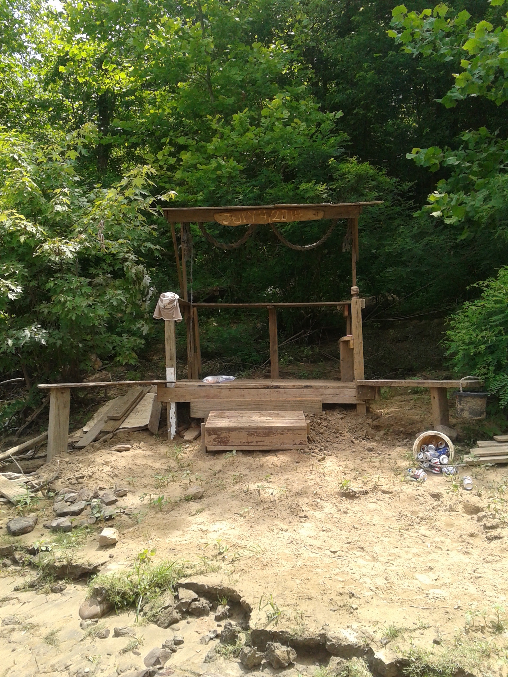
Right now I’m sitting on a little gazebo-like structure across the water from Leavenworth, IN. Looks like someone is planning a booze cruise here on the 4th. They’ve carved out “July 4, 2014” on it and i hear the owner shooting off fireworks every few minutes.
I still dont have any maps, but i did figure out the mile marker system on the river. There are little squares (red or green) scattered along the river with numbers on them. The lock that I passed on day one was mile 606.8 so I will estimate that the Falls of the Ohio was at 605..for easy number purposes. Im sitting across the river from one now, and am not about to paddle across just for a number, but I would estimate that its around 665…the last one I passed was 659. So ive done about 60 miles so far…nothing crazy, but we’re getting there.
Im excited for the next few days as I’ll be cruising through the southern tip of Hoosier National Forest (if you’re in the know its “Hooshj” like hoosier without the r). But HNF is my home forest, if I have one. Ive spent more time there than any other one, so it’ll be nostalgic i guess.
That’s it for now. Gotta get down river and make some camp. Its going to rain soon.
Aunt Nana
Jul 1, 2014 -
Okay, I’ve got my eye on you. Be safe
AN
Zach
Jul 2, 2014 -
safe travels, always, AN.